
No RTK GPS needed
The robot navigates rows, canopy, and open field with no RTK GPS and no prior map. Under a closed canopy it keeps working where a GPS guided machine stops.
What will you measure, build, create?
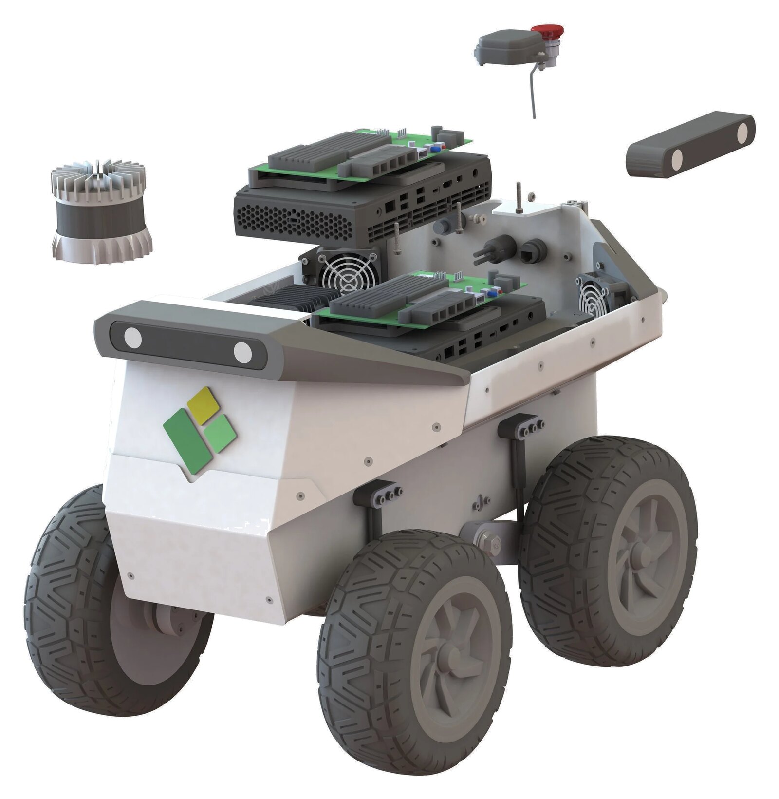
TerraSentia+ is a 25 kg autonomous field robot for scouting, inspection, mapping, and autonomy research. It drives itself with no RTK GPS and no prior map.
A one-person lift, airline check-in compatible
Fits between mature rows
Standard topics and services
Universities, breeders, and growers
The robot navigates rows, canopy, and open field with no RTK GPS and no prior map. Under a closed canopy it keeps working where a GPS guided machine stops.
Perception and control run on the robot itself. Your trial site does not need connectivity, and your data does not need to leave the field.
TerraSentia+ runs the same learned traction and terrain model as our production platforms, so it handles soft ground and slope the way a driver would.
The robot logs every sensor stream time-aligned with its own actions. That is the format a decade of our own phenotyping research runs on.
You can bring your own perception, planning, or control code. The platform exposes ROS 2 interfaces for research on top of the stock stack, or in place of it.
This platform line generated the dataset behind Terra AI. It has been in service in 14 countries since 2018, with universities, breeders, and growers.
Plant-level traits under the canopy: stand counts, height, biomass, and canopy health, on every plot rather than a sampled subset.
University and corporate labs test navigation, perception, and planning on a platform that already drives itself on day one.
Robotics teams build their own product on a proven chassis and autonomy stack instead of spending two years rebuilding one.
The robot gives you a stable, repeatable baseline to evaluate your own autonomy against, run after run and season after season.
Courses and student teams get a real autonomous robot rather than a simulator. Academic pricing applies to universities and teaching programs.
The sensor and payload bays are open. Bring your own cameras, hyperspectral imagers, soil probes, or scientific instruments, and power them off the auxiliary rails. We drive the rows. You measure what you came to measure.
Who runs it
Every unit is configured to the work it has to do. If none of these is quite right, we build to your spec.
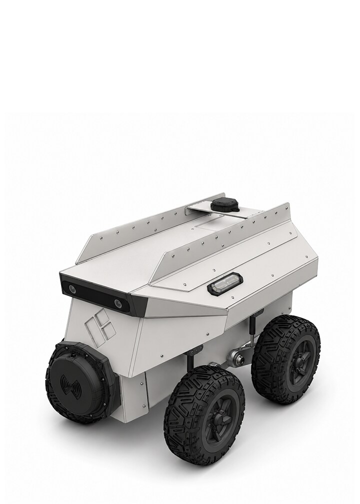
The base platform with exactly what a project needs to get moving: full autonomy, front stereo camera, and open payload bays. No extra frills.
Best forRobotics R&D, material transport
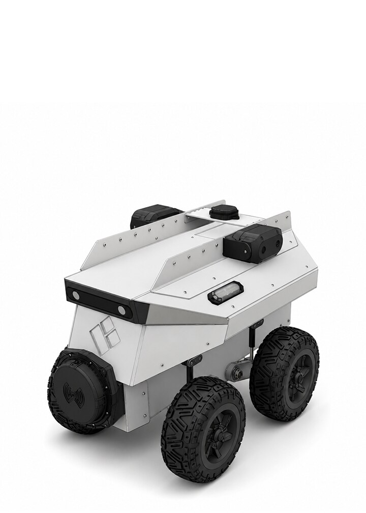
Adds side-facing cameras and LiDAR for a 360 degree view around the robot, so every plot is measured from three sides in one pass.
Best forPhenotyping, scouting, 3D mapping
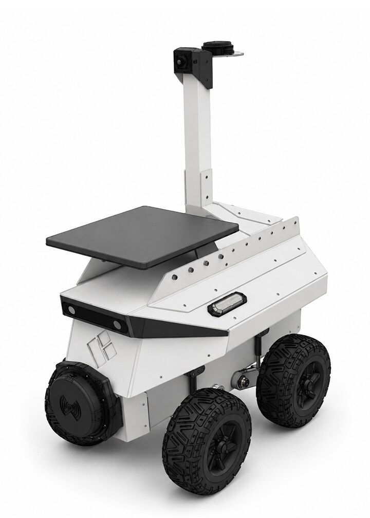
Adds Starlink connectivity and teleoperation, for sites where staying in contact with the robot is non-negotiable.
Best forPatrolling, site monitoring, hazard detection
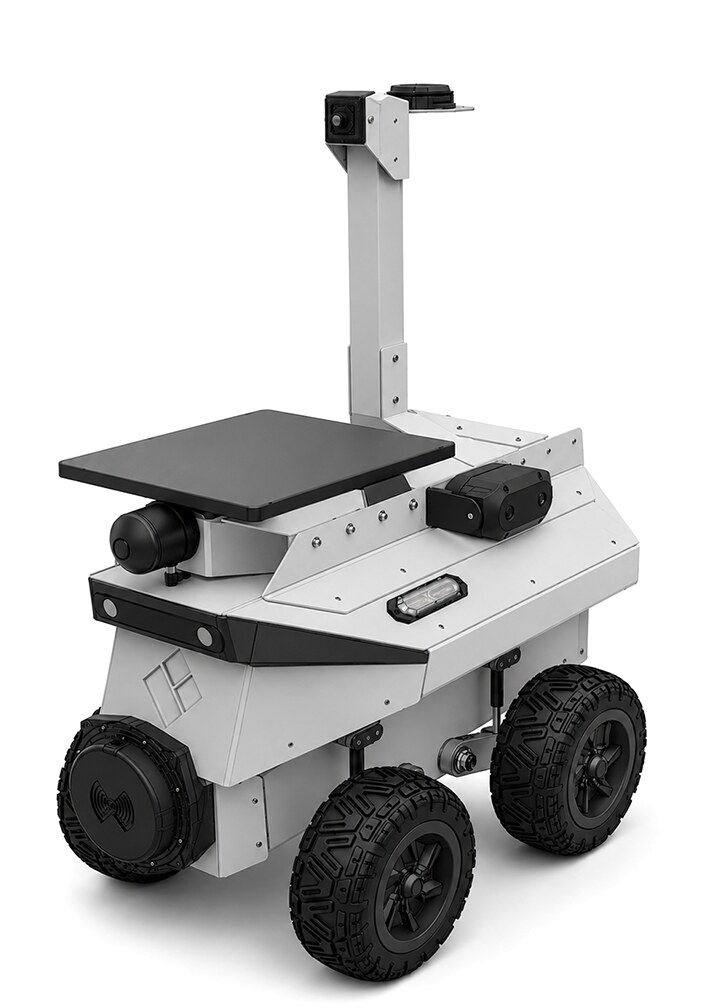
Both at once: the full 360 degree sensor suite plus teleoperation, for work you cannot walk out to.
Best forInspection, hazardous-area operations, search and rescue
We confirm final specifications at order. Ask for the full spec sheet with your reservation.
We configure every unit to the work: sensors, compute, and payload options to order. Academic pricing is available for universities and teaching programs. Tell us what you are building and we will come back with a configuration and a quote.